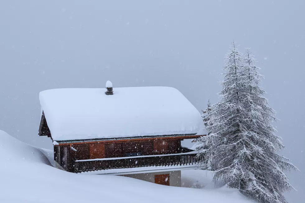
GFS Model Shows Multiple Feet of Snow Possible in Fort Collins
Coloradans are currently in the season known as 'fake spring.' During this delightful time of year, we happen to get a couple of days of 60 to 70-degree weather and we feel the spring thaw start to kick in.
However, we know that these few warm days are fleeting, as the snowiest months come in March and April for the Front Range.
Now that we've had a few warm days last week, the National Weather Service is stating that we have a high likelihood of significant snowfall. Currently, there is a high degree of uncertainty for many elements of this incoming storm. However, it appears that there is an increasing possibility that a large storm will affect the Fort Collins area and much of the Front Range of Colorado.

Facebook page Denver & Front Range Weather shows EURO and GFS models giving Northern Colorado and the Front Range over two feet of snow in some areas.
I just want to make information and my analysis completely transparent with you concerning this upcoming storm. I have...
Posted by Denver & Front Range Weather on Sunday, March 7, 2021
The Illinois College of DuPage's NEXLAB 12Z GFS model on Monday shows a forecasted possibility of snow accumulation (10:1) that would total 46.7 inches between Thursday and the start of Monday. Here is the forecasted storm in action:
As of right now, it's too early to tell what we could be in for when it comes to this winter storm.
But brace yourself, we could be in for one heck of a winter storm.
Source: National Weather Service - College of DuPage NEXLAB - Denver & Front Range Weather Facebook.
UP NEXT: Where To Go Night Tubing in Colorado
UP NEXT: Colorado's Top 10 Ranked Ski Resorts
More From 94.3 The X


