Colorado’s Largest Recorded Earthquake Rumbled In West Fort Collins
When you think of Colorado, you don't really think of earthquakes.
But did you know the earth has rumbled here significantly in the past?
According to the Poudre Fire Authority, the largest recorded earthquake ever to hit the Centennial State occurred right here in our backyard of West Fort Collins on November 7, 1882, with an earthquake measuring 6.6 on the Richter scale. It was actually the first earthquake to ever cause recorded damage to Denver.

Apparently, we have a very complex geological structure running under our feet, which makes sense...There are mountains, valleys, plains, canyons and high desert kind of areas, depending on where you are in the state.
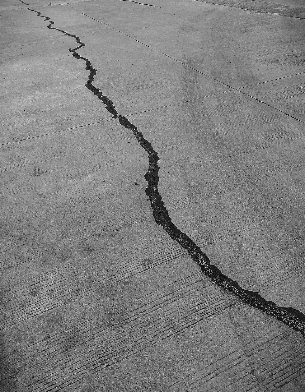
There are also over 200 known fault lines under Colorado, and if something like that 6.6 earthquake back in 1882 hit today, it was cause significant danger not only to Fort Collins but to bridges, buildings, dams—pretty much our entire infrastructure.
While nothing of that magnitude has been registered in our area for a very long time, the Greeley area has registered some rumblings (that you probably didn't even feel) over the past few years.
Want to be prepared, know what to do and maybe, more importantly, what NOT to do during an earthquake? If so, click HERE.
I know that despite moving here from a VERY earthquake-prone region (the Pacific Northwest), I didn't think much about seismic tremors in CO, if at all. But over the last few years we've seen some stories about earthquakes hitting in random places in Oklahoma and even on the East Coast.
I recently found this site that shows a map of every registered earthquake in the United States daily, and for me, it's kind of addicting to look at (I know, I'm weird).
This is also a good follow on Twitter, too, for info on earthquakes and other cool science stuff.
UP NEXT: 20 Photos of Colorado From Space
More From 94.3 The X