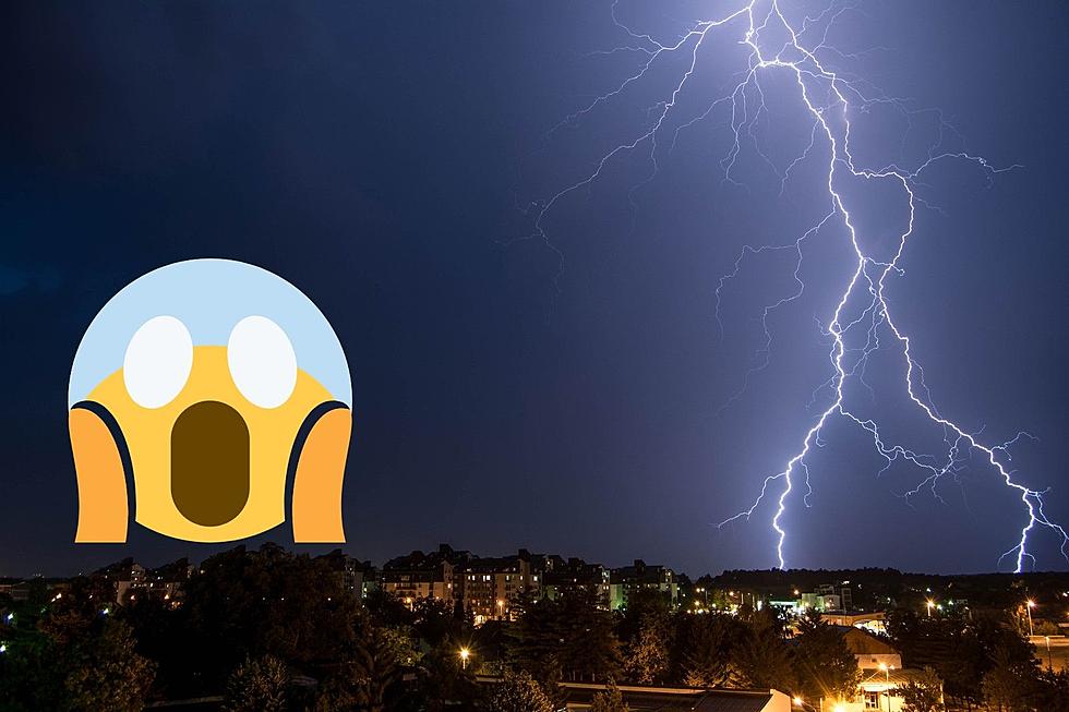
WOW: Colorado Under Winter Storm, Fire and Tornado Watch Tuesday
Oh, Colorado. It's snow, wind and fire this Tuesday, according to an alert from the National Weather Service, which put the state under: a Red Flag Warning, a Freeze Warning, a High Wind Warning, a Winter Storm Warning, a Winter Weather Advisory and lastly, a Tornado Watch — simultaneously.

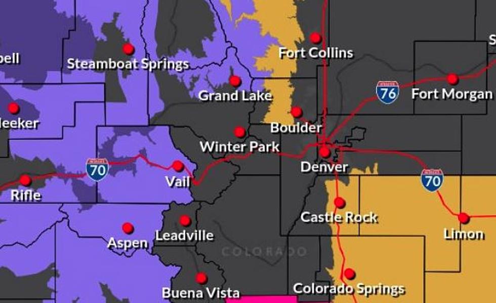
Fortunately, this isn't all happening in the same place, but in different locations across the state. The National Weather Service placed Northeastern Colorado under a Tornado Watch for Tuesday afternoon, tweeting, 'When weather threats include tornadoes, fire weather, snow, high winds, and freezing temperatures we encourage you to stay weather aware and check the forecast often!'
Much of the state, including areas west of Fort Collins like Red Feather Lakes and Estes Park (and up north in Cheyenne, WY), are under a High Wind Warning. Grand Lake, Steamboat and the I-70 corridor are under a Winter Weather Advisory, and the region southwest of Colorado Springs near Salida is under a Red Flag Warning.
Fort Collins has been partly sunny, gloomy and possibly a little raining over the course of the day, but no extreme weather events to report here. Estes Park, on the other hand, could experience 50 MPH winds this week.
According to the National Weather Service, there is a chance of snow overnight Tuesday for the Fort Collins area, though no accumulation is expected. Wednesday will be sunny with a high in the 60s before the chill returns on Thursday, with overnight lows below freezing, and a chance of snow. You can see the full forecast from the National Weather Service here.
See All the Snow Colorado Received in Early October
Fall Through the Eyes of Your Fellow Coloradans
More From 94.3 The X